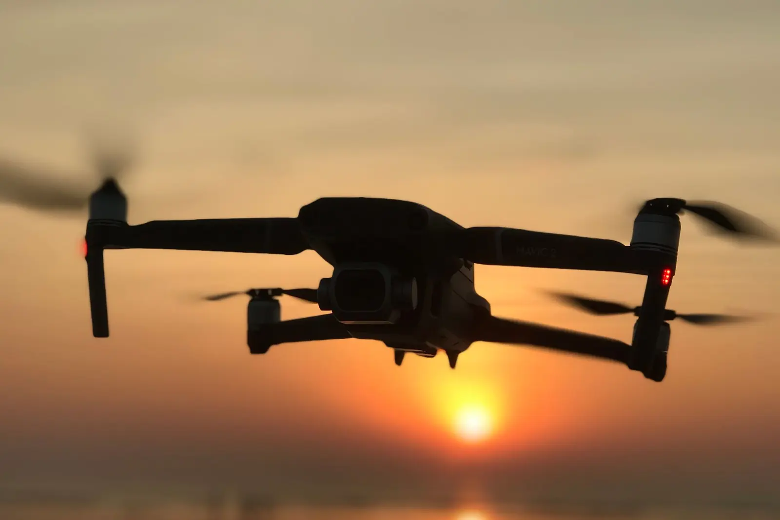
Checked point by point in the FAA's airspace data, the Strip and downtown both sit in the ground-level portion of the Las Vegas Class B, built around Harry Reid International and topping out at 10,000 feet MSL. North Las Vegas Airport has a Class D capped at 4,500 feet MSL, and the one around Henderson Executive Airport stops at 4,000 feet MSL.
The City of Las Vegas sorts drone shoots by takeoff spot. Its FLYSAFE page says commercial filming that launches or lands on city property or the public right-of-way needs a film permit, which is free and reviewed by Las Vegas Metropolitan Police and Las Vegas Fire & Rescue, while a launch from a hotel, casino or restaurant lot does not. The page also cites Nevada's NRS chapter 493 and Las Vegas Municipal Code chapter 13.58.
Lake Mead National Recreation Area keeps its land and water closed to unmanned aircraft without the superintendent's written approval, under its 2026 compendium, apart from one signed radio control model aircraft field near Boulder Beach.
In controlled airspace (Class B, C or D, or the surface area of Class E around an airport), section 107.41 of the FAA's Part 107 rule requires prior authorization from air traffic control. The FAA grants it through LAANC, in near real time at the altitudes shown on its UAS Facility Maps, or through FAADroneZone.
Summary of the official pages listed below, read on 11/14/2026.