
Drone Photography and Videography Services Near You
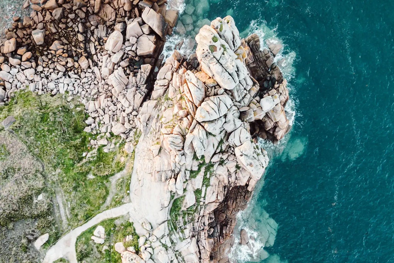
Drone photography shows what the ground can't: a home with its whole lot, a venue and its surroundings, a construction site from above, a stretch of coastline at sunrise.
- Typical rate
- $70 to $250 per hour
- Deliverables
- 4 typical deliverables
Drone photography and video: the essentials
A drone photographer flies a camera drone to the exact height and angle you need, then delivers edited aerial photos, drone footage, or a finished video.
Most projects fall into a few families: property and real estate listings, business and marketing videos, events, construction progress, and scenic or travel shots. The same pilot can usually shoot stills and video on the same flight, so you can get both in one visit.
Tell us where, what you need and when. We reach out to drone pilots near you and get back to you within 2 business days with up to 3 quotes. It's free, and you decide whether to hire anyone.
Use cases
Homes, land and real estate listings
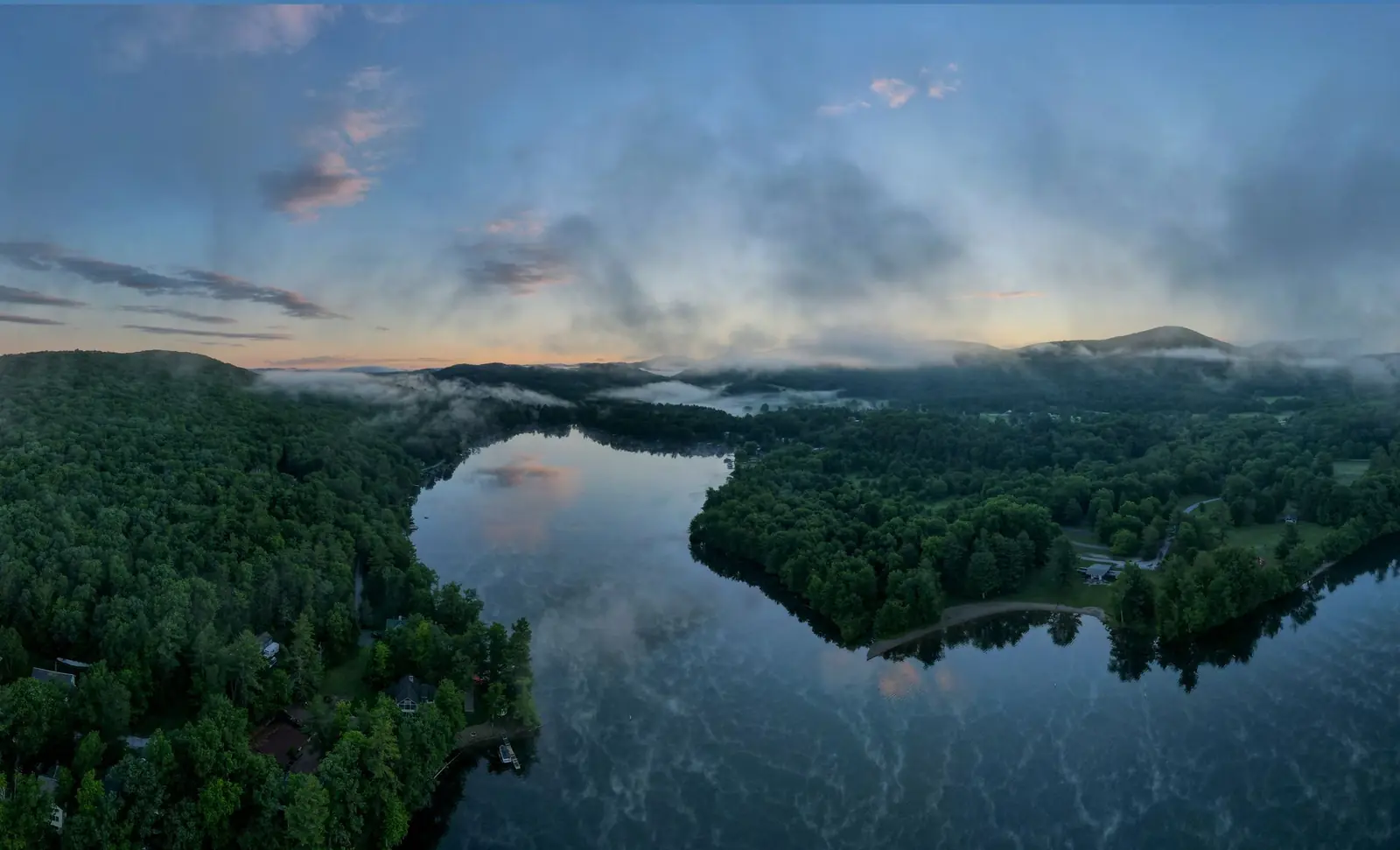
Aerial photos place a property in its setting: the lot lines, the pool, the view, the distance to the lake or the park. Listing photos and a short flyover clip are the most common drone photography request.
Business and marketing videos
Opening shots, transitions and reveals for a brand film, a commercial, a social media ad or a website hero video. The pilot follows a shot list and repeats a move until it is right.
Events and celebrations
Weddings, festivals, races, grand openings and community events, filmed from above. The pilot works around the schedule and keeps a safe distance from guests.
Construction and job sites
A clear overview of a site at each stage, from groundbreaking to completion. Regular visits from the same angle make progress easy to compare and to share with owners and investors.
Hotels, resorts, wineries and venues
Show the whole place at once: the buildings, the grounds, the vineyard rows, the beach. Aerial footage gives booking pages and brochures a view guests remember.
Landscapes, landmarks and travel
Coastlines, mountains, trails, farms and small towns, captured at golden hour or in a season you choose. Tourism boards, parks and local businesses use these shots for years.
More services in this category
Cost of drone photography and video
These are rates we read on November 14, 2026 in published US cost guides: a hiring marketplace, two pilot training organizations and a drone software company. They are not platform prices: each pilot sets their own in their quote.
| Service | Typical range | Unit |
|---|---|---|
| Drone photographer, average hourly rate on a hiring marketplaceBark, aerial drone photography cost guide | $70 to $250 | per hour |
| Aerial drone photography, typical hourly rateUAV Coach (04/02/2026) and Drone U (05/30/2026), pricing guides | $150 to $400 | per hour |
| Drone videography, typical hourly rateUAV Coach, drone services pricing guide (04/02/2026) | $200 to $500 | per hour |
| Drone photography projectUAV Coach, drone services pricing guide (04/02/2026) | $300 to $1,500 | per project |
| Drone video projectUAV Coach, drone services pricing guide (04/02/2026) | $1,000 to $5,000 | per project |
| Home shoot package: edited photos plus a short video clipSkyeBrowse, drone photography cost guide (03/16/2026) | $150 to $350 | per property |
Hourly rates usually include the flight and basic editing; a full video edit is often priced per project. Compare what each quote includes, not just the total.
What affects the price
- Time on site, from setup to the last flight
- Photos only, raw drone footage, or a fully edited video
- Editing: color grading, music, titles, number of revisions
- Travel to the location and the size of the area to cover
- The camera drone and lenses the shoot calls for
- How you will use the images (web, advertising, TV) and how fast you need them
Sources
- Bark, aerial drone photography costs (US), accessed 11/14/2026
- UAV Coach, drone services pricing guide, accessed 11/14/2026
- Drone U, drone service pricing guide, accessed 11/14/2026
- SkyeBrowse, drone photography cost, accessed 11/14/2026
How it works, step by step
- 1
You describe the shoot
The address or area, what the images are for (website, listing, social media, TV, print), photos or video, the look you want and your preferred dates. Reference photos or a link to a video you like help a lot.
- 2
You receive up to 3 quotes
Each quote spells out the time on site, the number of edited photos or minutes of video, editing, delivery time, how you can use the images, and a backup date if wind or rain gets in the way.
- 3
The pilot plans the flight
Before the day, the pilot studies the site, picks the best light, plans the shots and confirms access with the property owner or the venue. You agree on a meeting point and a contact on site.
- 4
The shoot
The pilot flies in daylight, keeps the drone in sight, and works through several heights and angles. Most check the footage on site so nothing is missing before they leave.
- 5
Editing and delivery
You get your aerial photos and drone footage by download link, raw or edited, in the formats agreed in the quote, with the usage rights written down.
What you get
- Edited aerial photos in high resolution, sized for the web, listings or print
- Drone footage: raw clips, a short edited video, or both, in the agreed resolution
- A download link for every file, delivered within the time set in the quote
- Usage rights written in the quote (website, social media, advertising, print)
Your project in a few clicks
Answer the first questions here: they carry over to your request.
Answer in one click, or skip to the next step.
ContinueFrequently asked questions
How much does drone photography cost?
Published US guides put aerial drone photography at $150 to $400 per hour, and a hiring marketplace shows $70 to $250 per hour on average. By project, guides give $300 to $1,500 for photography and $1,000 to $5,000 for a drone video. A home package with edited photos and a short clip runs $150 to $350 per property. Your quote depends on your location, the deliverables and the editing.
How do I find drone photography near me?
Describe your project and enter your city or ZIP code. We reach out to drone pilots who work in your area and send you up to 3 quotes within 2 business days. Each pilot can share samples of past aerial photos and drone footage.
What's included in drone photography services?
Usually the planning, the flight, a set of edited aerial photos and a download link. Video adds drone footage, raw or edited into a short film. Ask each quote for the number of photos, the length of the video, the delivery time, the usage rights and a backup date for bad weather.
Can I get drone video too, not just photos?
Yes. Most drone photographers also offer drone videography, and many shoot stills and video on the same flight. Say which you need in your request: photos, raw drone footage, an edited video, or all three.
How long does a drone photo shoot take?
It depends on the size of the site and the shot list. A single home is a short visit, while a venue, a construction site or a full marketing video can take most of a day. Each quote states the time on site and the delivery time.
What's the difference between drone photography and drone videography?
Drone photography delivers still images: listing photos, prints, website banners. Drone videography delivers moving footage: flyovers, reveals and edited videos. The same pilot and drone often do both, but editing a video takes longer, which shows in the price.
Do I get raw drone footage or edited files?
Either, depending on the quote. Some pilots deliver raw clips for your own editor, others deliver color-corrected photos and a finished video. Ask for both if you want to re-edit the footage later.
Is it free to request quotes?
Yes. Describing your project and receiving quotes is free and you don't have to hire anyone. If you choose a pilot, you pay them directly, based on their quote.
Related services
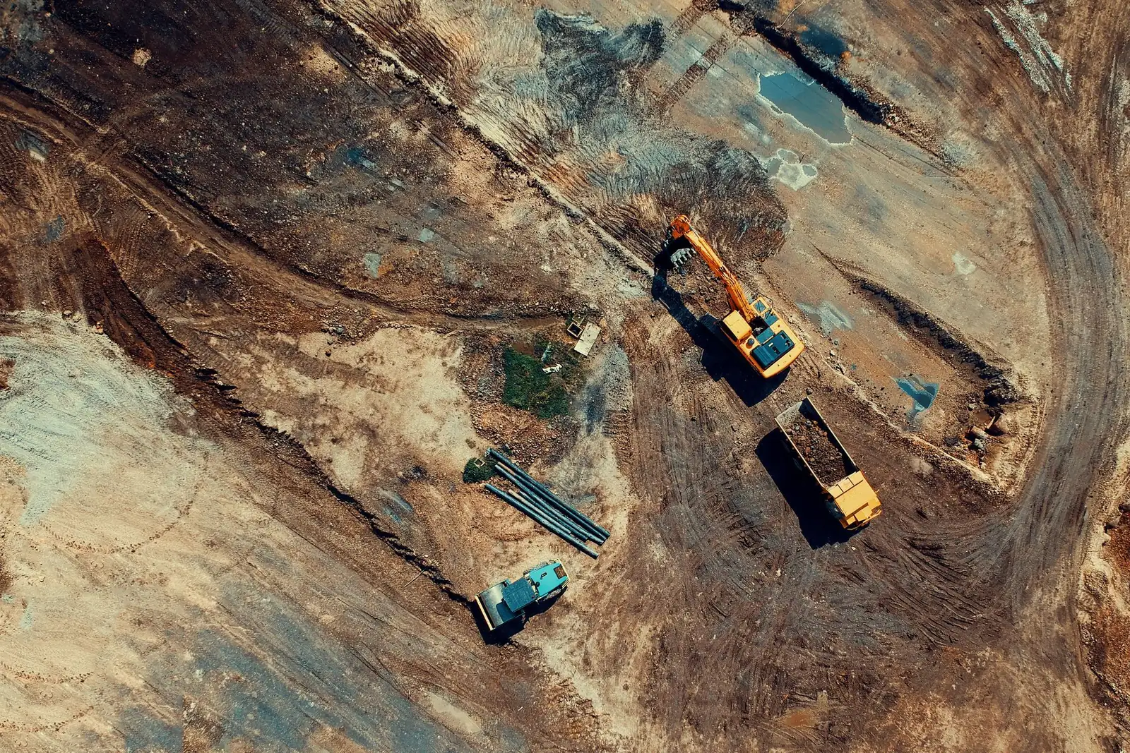
Drone mapping and surveying
A drone survey turns hundreds of overlapping aerial photos into an accurate, measurable picture of a site: a map you can zoom into, a terrain model, a 3D model or a stockpile volume.
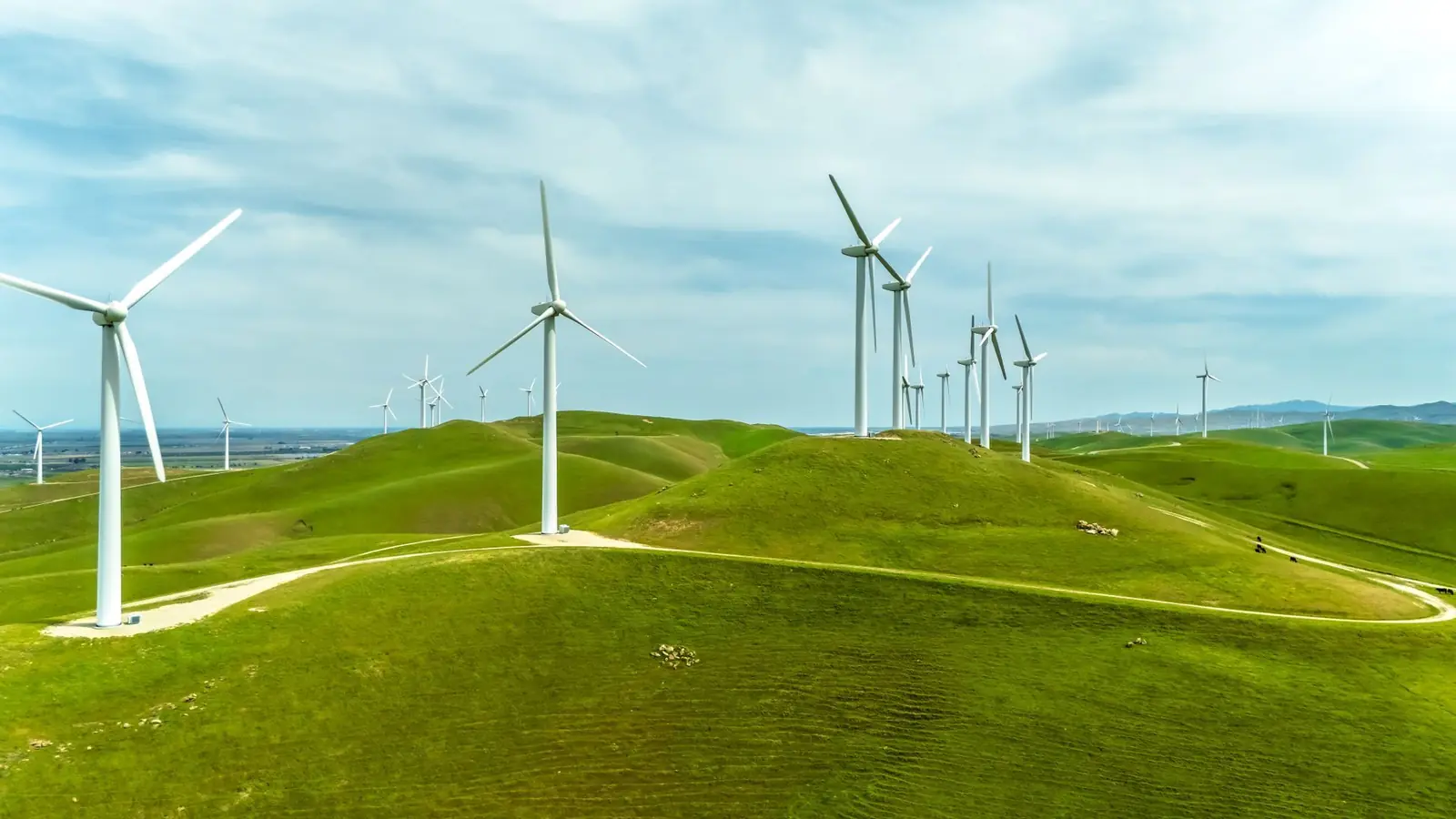
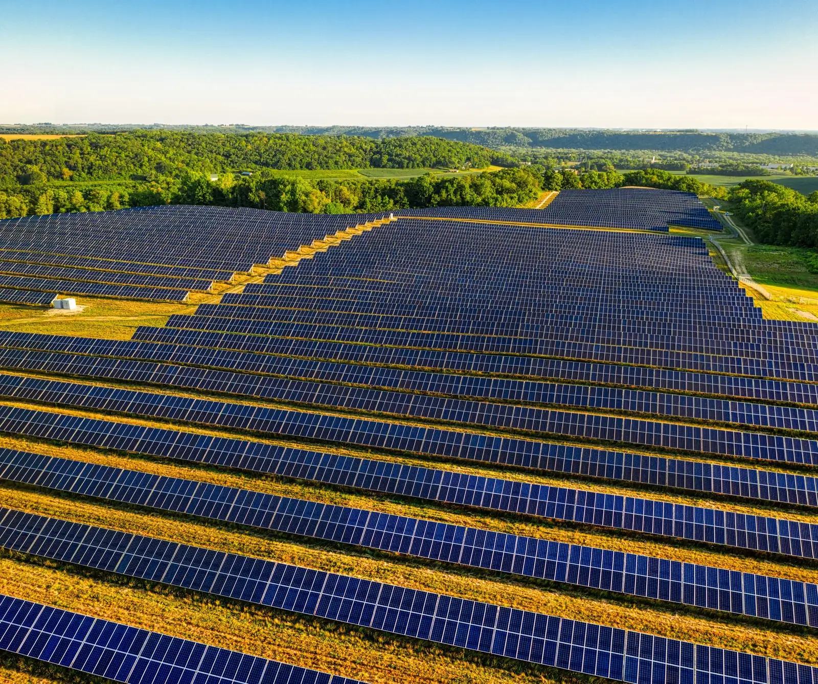
Drone inspection
A drone inspection gets a close, detailed look at places that are hard, slow or risky to reach: a steep roof, a three-story facade, a row of solar panels, a cell tower or a wind turbine.
Thermal drone services and deer recovery
A thermal drone carries an infrared camera that sees heat instead of light.
Tell us about your project
Free for you. We reply within 2 business days.