
Real Estate Drone Photography and Video for Your Listings
Buyers decide from the photos whether a home is worth a visit.
- Typical rate
- $150 to $350 per property
- Deliverables
- 4 typical deliverables
Real estate drone photography: the essentials
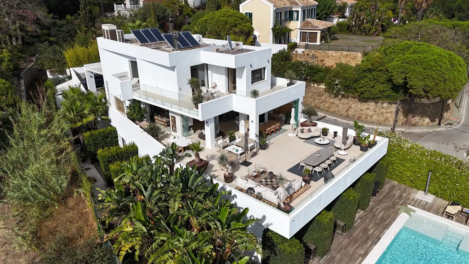
Real estate drone photography gives them what ground photos can't: the size of the lot, the backyard and the pool, the street, the view, and how close the home sits to the lake, the golf course or downtown. One aerial shot answers questions a buyer would otherwise ask on a showing.
Listing agents, brokers, home sellers, builders and land sellers all use it. A drone is most useful for homes with a yard or acreage, waterfront and view properties, vacant land, new developments and commercial buildings. Most real estate drone pilots shoot both aerial photos and a short real estate drone video on the same visit.
Describe the property, the address or ZIP code and your listing date. We contact drone pilots who cover your area and send you up to 3 quotes within 2 business days. Requesting quotes is free, and you hire only if a quote suits you.
Use cases
Single-family homes with a yard
Show the whole lot at once: the fenced backyard, the pool, the patio, the garage and the trees. Buyers see how much outdoor space comes with the house before they book a showing.
Vacant land and acreage
For a lot, a farm or a ranch, aerial photos show the shape of the land, the road frontage, the tree line and the neighbors. You can ask the pilot to mark the approximate lot lines on the photo.
Waterfront and view properties
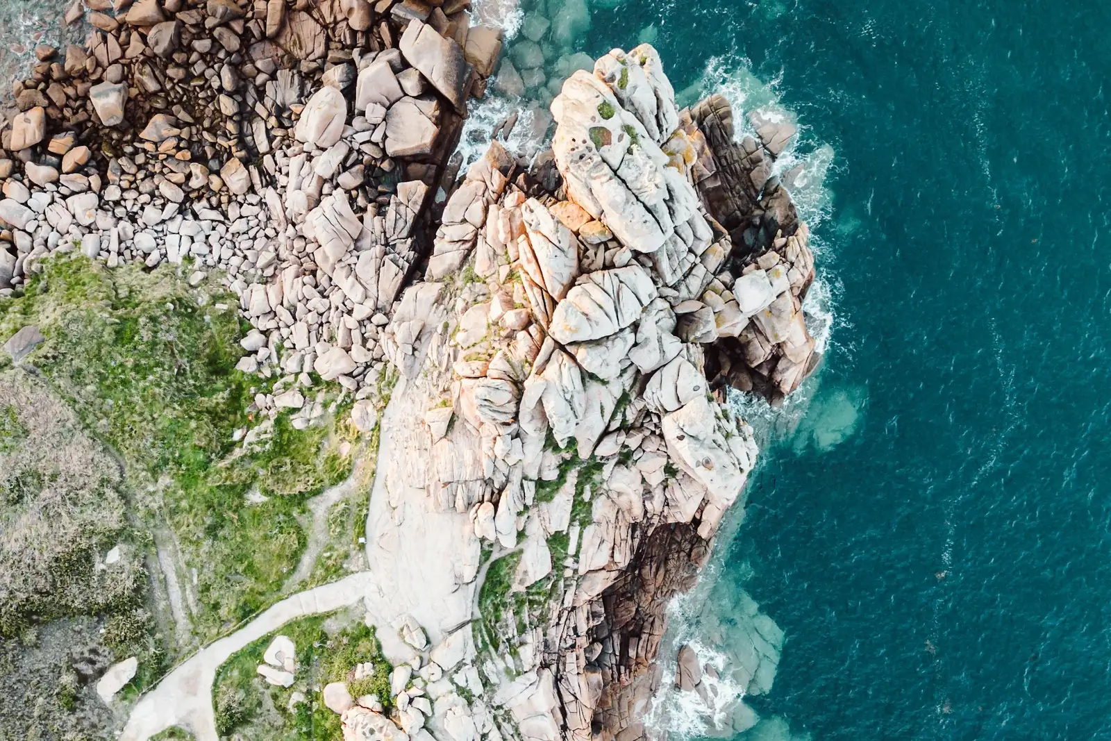
A lake house, a beach condo or a hillside home sells its setting. A drone shows the dock, the shoreline, the distance to the water and the view from the upper floors.
Neighborhood and location shots
Wide shots that place the home in its neighborhood: nearby parks, schools, trails, shops and the drive to downtown. Useful for relocation buyers who shop from another state.
New construction and developments
Builders and developers document a subdivision or a condo project from groundbreaking to the model home, then use the same angles in brochures and on the sales website.
Commercial property and multifamily
Retail centers, office buildings, warehouses and apartment complexes, shown with their parking, access roads and surroundings. Brokers use the shots in offering memorandums and listing flyers.
Cost of real estate drone photography
These are real estate drone photography prices we read on November 14, 2026 in published US guides: a drone software company, a pilot training organization and a real estate photo editing company. They are not platform prices: each pilot sets their own in their quote.
| Service | Typical range | Unit |
|---|---|---|
| Standard home package: edited aerial photos plus a short video clipSkyeBrowse, drone photography cost guide (03/16/2026) | $150 to $350 | per property |
| Basic real estate drone photography, 10 to 20 edited imagesUAV Coach, drone services pricing guide (04/02/2026) | $300 to $500 | per project |
| Basic real estate drone photography, hourly rateUAV Coach, drone services pricing guide (04/02/2026) | $150 to $250 | per hour |
| 5 to 10 aerial photos with a 30-second to 2-minute videoPhotoUp, drone real estate photography pricing (03/07/2025) | $250 to $500 | per property |
| 15 to 25 aerial photos with a 1 to 3-minute videoPhotoUp, drone real estate photography pricing (03/07/2025) | $350 to $800 | per property |
| Luxury home: short highlight video with cinematic editingUAV Coach, drone services pricing guide (04/02/2026) | $1,000 to $2,500 | per project |
| Commercial property or large parcel with a map or a 3D model (more for large acreage)SkyeBrowse, drone photography cost guide (03/16/2026) | $500 to $2,000 | per project |
Many agents book the drone as part of a listing photo package with interior photos. Compare what each quote includes: number of photos, video length, delivery time and usage rights.
What affects the price
- The size of the home and of the lot, from a city lot to many acres
- Photos only, a short clip, or a fully edited listing video
- The number of edited photos and the length of the video
- Several properties on the same day, or a regular schedule for an agency
- Travel to the property
- Rush delivery before the listing goes live
Sources
- SkyeBrowse, drone photography cost, accessed 11/14/2026
- UAV Coach, drone services pricing guide, accessed 11/14/2026
- PhotoUp, drone real estate photography pricing, accessed 11/14/2026
How it works, step by step
- 1
You describe the property
The address or ZIP code, the type of property, the lot size, photos or video, and the date the listing goes live. Say if you need a rush delivery or several homes on the same day.
- 2
You compare up to 3 quotes
Each quote lists the number of edited photos, the length of the video, editing, the delivery time, the rights to use the images on listing sites and social media, and a backup date for bad weather.
- 3
The pilot schedules the shoot
The pilot checks the site on a map, plans the angles and picks the best time of day for the light on the front of the house. You confirm access, and the seller tidies the yard, the driveway and the pool.
- 4
The flight
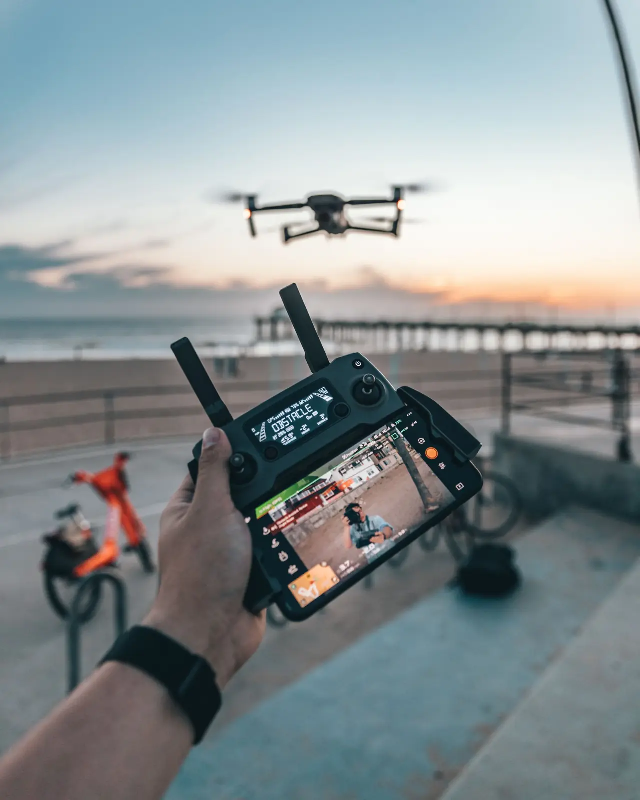
The pilot flies around the property at several heights: high shots for the lot and the neighborhood, lower ones for the house and the backyard, and a smooth flyover for the video. A single home is usually a short visit.
- 5
Editing and delivery
Photos are color-corrected and sized for listing sites and print; the video is stabilized and edited. You get everything by download link, ready to upload with the listing.
What you get
- Edited aerial photos of the home, the lot and the neighborhood, sized for listing sites, social media and print
- A short real estate drone video or flyover clip, or raw footage for your own video editor
- Lot lines or labels on the photos if you ask for them in the request
- A download link with every file, and the usage rights for listings and marketing written in the quote
Your project in a few clicks
Answer the first questions here: they carry over to your request.
Answer in one click, or skip to the next step.
ContinueFrequently asked questions
How much does real estate drone photography cost?
Published US guides put a standard home package with edited aerial photos and a short video clip at $150 to $350 per property. Basic real estate drone photography with 10 to 20 edited images runs $300 to $500 per project, or $150 to $250 per hour. A luxury home video with cinematic editing runs $1,000 to $2,500. Your quote depends on the property, the deliverables and your location.
What does real estate drone photography pricing include?
Usually the flight, a set of edited aerial photos and a download link. Packages with video add a 30-second to 3-minute clip. One editing company lists $250 to $500 for 5 to 10 aerial photos with a short video, and $350 to $800 for 15 to 25 photos with a longer one. Check the number of photos, the video length and the delivery time in each quote.
Is a real estate drone worth it for every listing?
It adds the most to homes with a yard or acreage, waterfront and view homes, vacant land, new developments and commercial property. For a condo in a dense downtown block, a few aerial shots of the building and the neighborhood are usually enough.
Should I get real estate drone video or just photos?
Photos go on the listing, the flyer and the brochure. A real estate drone video works on the property website, in social media posts and in email campaigns to buyers. Many pilots shoot both on one visit, so ask for a package with both if you plan to use video.
How fast do I get the drone photos?
Each quote states the delivery time. If the listing goes live in a few days, say so in your request. Rush delivery usually costs more: one drone software company puts it at a 25 to 50% premium over standard delivery.
How do I find a real estate drone photographer near me?
Describe the property and enter its city or ZIP code. We contact drone pilots who work in your area and send you up to 3 quotes within 2 business days. Ask each one for sample listing photos and videos.
Can one pilot shoot several of our listings?
Yes. Agencies and builders often group several homes on the same day or set a regular schedule, which can lower the price per property. Give the number of properties and their areas in your request.
Who owns the drone photos of my listing?
The pilot usually keeps the copyright and grants you the right to use the images. The quote should say where you can use them: listing sites, the brokerage website, social media, print and ads. Ask for that in writing if you plan to reuse the photos after the sale.
Related services
Tell us about your project
Free for you. We reply within 2 business days.