
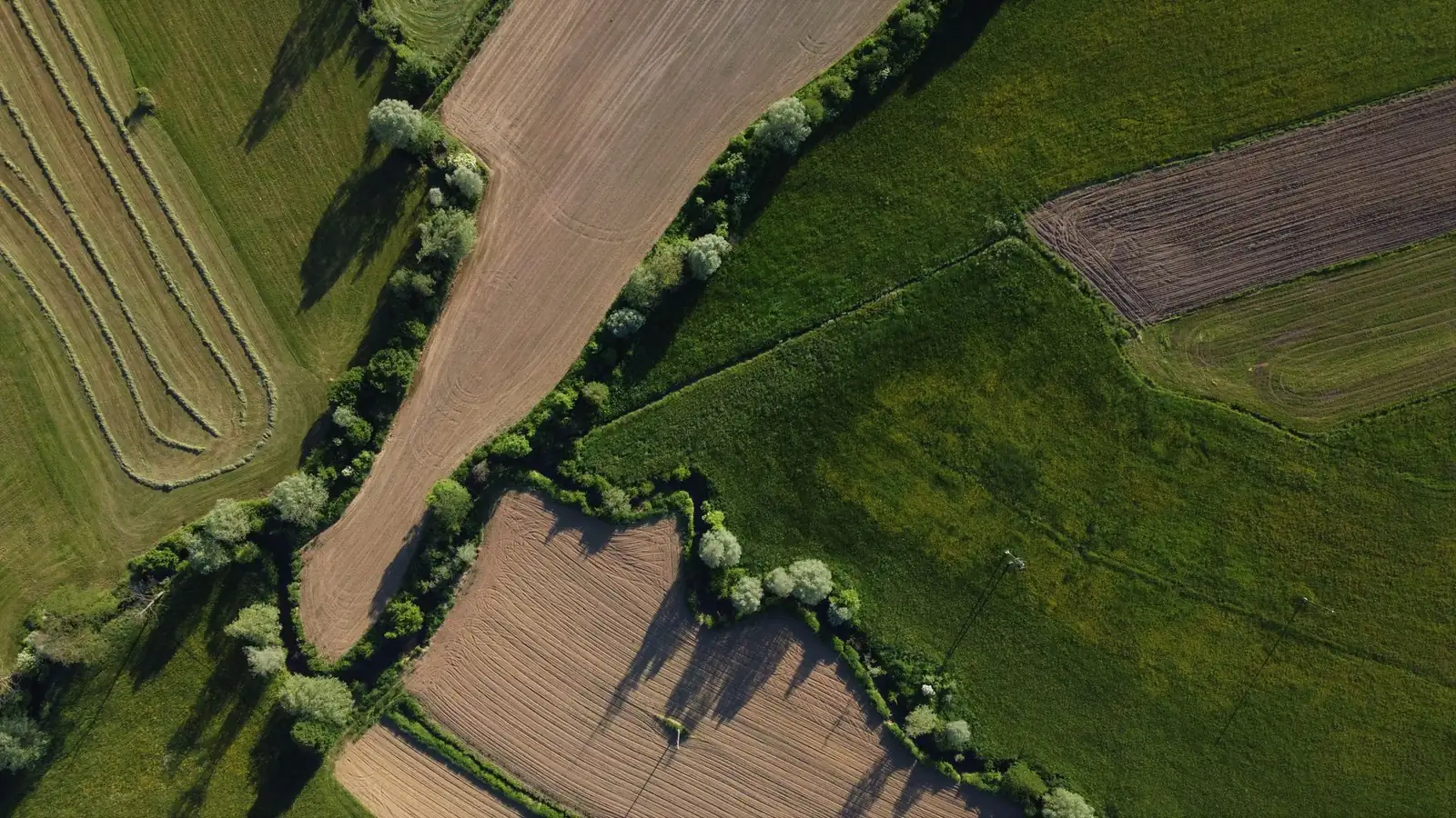
Agricultural Drone Services: Spraying, Seeding and Crop Mapping
Agricultural drone services bring a spray drone or a mapping drone to your fields.
- Typical rate
- $8 to $16 per acre
- Deliverables
- 5 typical deliverables
Agricultural drone services: the essentials
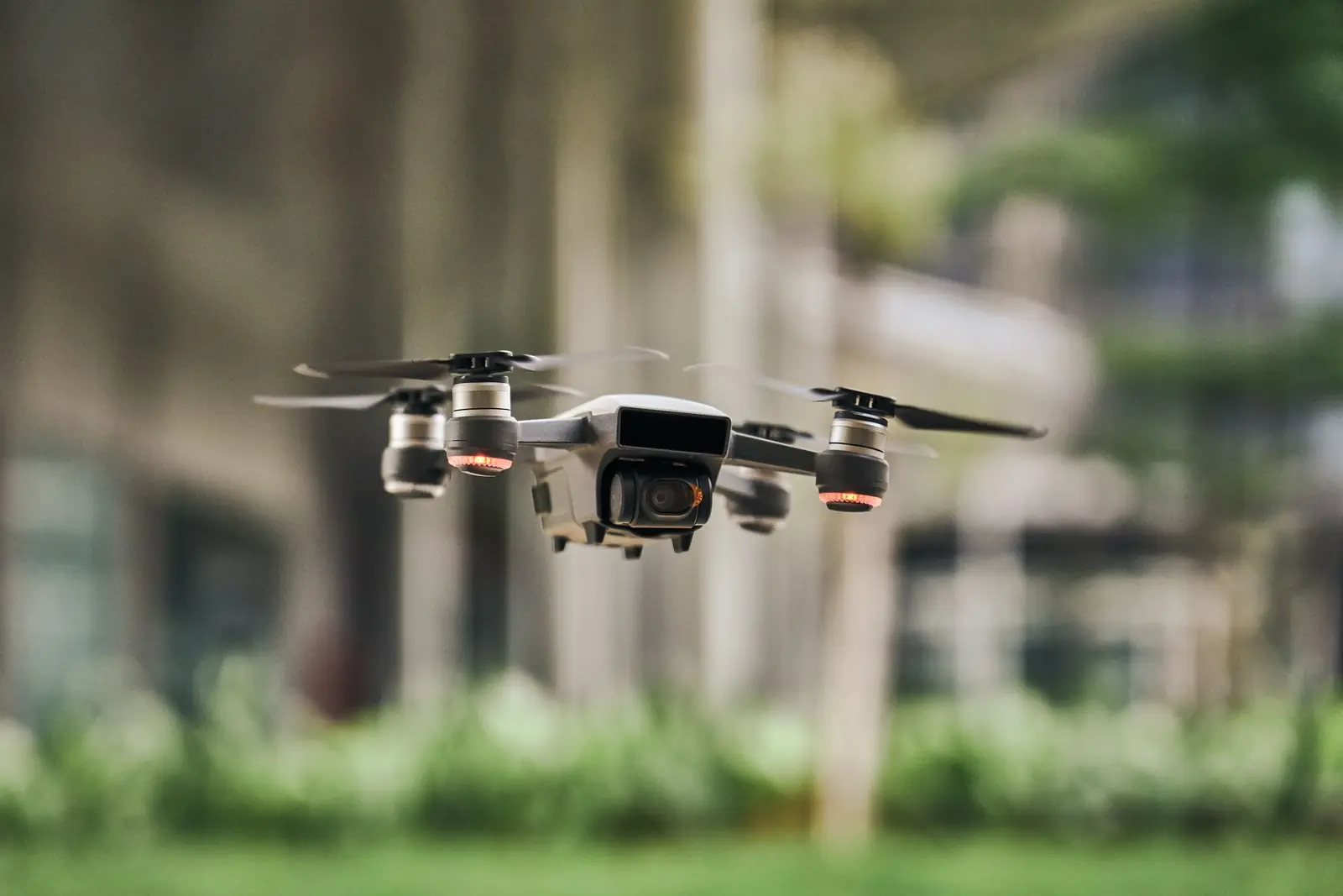
A spray drone applies fungicide, herbicide, insecticide or fertilizer from a few feet above the crop, and can also broadcast cover crop seed. A mapping drone flies the fields with a multispectral or high-resolution camera to show crop health, stand counts and damage.
Drones are most useful where ground rigs and planes are a poor fit: wet or muddy fields, tall corn late in the season, small or odd-shaped fields, terraces, orchards and spots that need treating fast. Custom operators charge by the acre, and farm surveys now track drone rates next to ground and aerial application.
Tell us where, what you need and when. We reach out to agricultural drone operators near you and get back to you within 2 business days with up to 3 quotes. It's free, and you decide whether to hire anyone.
Use cases
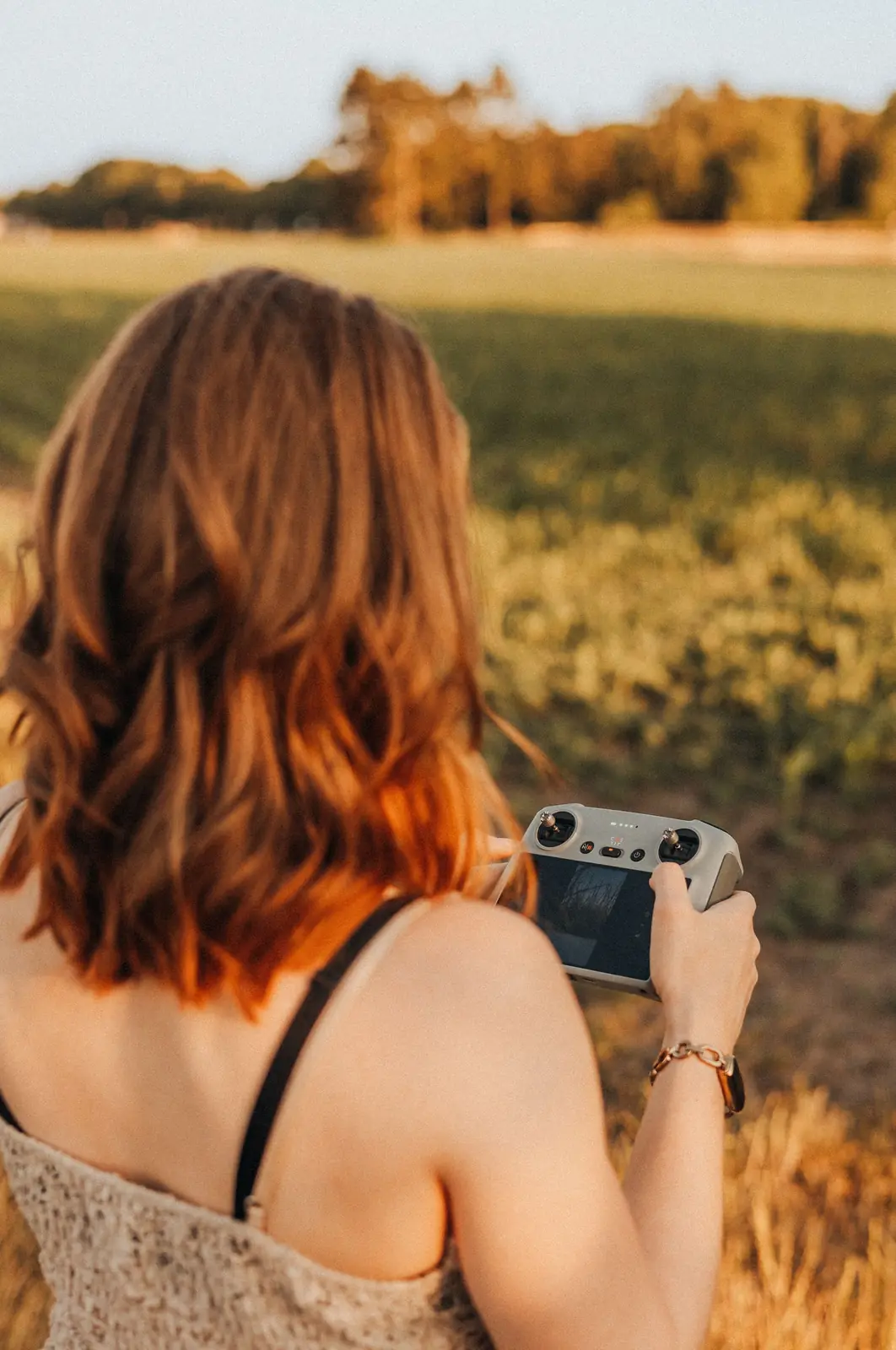
Drone spraying of fungicide and crop protection
Fungicide on corn and soybeans at the right stage, insecticide when a pest hits, herbicide on problem areas. The drone flies over the canopy, so there are no wheel tracks and no crop knocked down.
Spot spraying and field edges
Treat only the weedy patches, the wet corners or the field borders instead of the whole field. A map from an earlier flight can tell the spray drone exactly where to go.
Cover crop seeding
Broadcast cereal rye, clover or a mix into standing corn or soybeans before harvest, so the cover crop gets a head start. Drones can also reseed washed-out spots.
Fertilizer application
Granular or liquid fertilizer applied from the air, useful when the ground is too wet to drive on or the crop is too tall for a spreader.
Crop health maps and scouting
NDVI and other plant health maps show stressed zones, nutrient problems, drainage issues and pest pressure across every acre. You or your agronomist then walk straight to the right spots.
Stand counts and damage assessment
Count plants after emergence, check replant decisions, and document hail, wind, flood or drought damage with dated aerial images for your records or your crop insurance adjuster.
Cost of agricultural drone services
These are custom rates per acre we read on November 14, 2026 in two 2026 university farm surveys (Iowa State and Ohio State) and a drone pilot training organization's pricing guide. They are not platform prices: each operator sets their own in their quote.
| Service | Typical range | Unit |
|---|---|---|
| Drone spraying, custom rate, product not included (Iowa survey)Iowa State University Extension, 2026 Iowa Farm Custom Rate Survey | $8 to $16 | per acre |
| Drone application of fungicide and other chemicals (Ohio survey)Ohio State University Extension, Ohio Farm Custom Rates 2026 | $8 to $20 | per acre |
| Drone seeding, such as cover crops (Ohio survey)Ohio State University Extension, Ohio Farm Custom Rates 2026 | $11 to $22 | per acre |
| Drone fertilizer application (Ohio survey)Ohio State University Extension, Ohio Farm Custom Rates 2026 | $12 to $20 | per acre |
| Agriculture drone services, large-scale monitoring or sprayingUAV Coach, drone services pricing guide (04/02/2026) | $5 to $20 | per acre |
| Field mapping or crop survey flightUAV Coach, drone services pricing guide (04/02/2026) | $500 to $1,500 | per mission |
In the Iowa survey, rates cover the application only, not the product. The survey ranges show what farmers and custom operators in each state reported for 2026; prices in your area may differ.
What affects the price
- Total acres and the size and shape of each field
- The job: spraying, seeding, fertilizer, or mapping only
- Application rate in gallons or pounds per acre, which sets the number of refills
- Who supplies the product, and whether it is included in the price
- Travel to your farm and any minimum charge per job
- Timing: a narrow window at peak season costs more than a flexible date
Sources
- Iowa State University Extension, 2026 Iowa Farm Custom Rate Survey, accessed 11/14/2026
- Ohio State University Extension, Ohio Farm Custom Rates 2026, accessed 11/14/2026
- UAV Coach, drone services pricing guide, accessed 11/14/2026
- University of Missouri, the economics of drone ownership, accessed 11/14/2026
How it works, step by step
- 1
You describe the job
The crop, the number of acres, where the fields are, what you want done (spraying, seeding, fertilizer, mapping) and the timing window. For spraying, say who supplies the product and what it is.
- 2
You receive up to 3 quotes
Each quote states the price per acre or per field, whether product is included, the minimum charge, travel, the earliest start date and what happens if wind or rain delays the job.
- 3
The operator plans the flights
Field boundaries, obstacles like power lines and trees, sensitive neighbors and water, refill and battery points. For spraying, the operator reads the product label and sets the rate and droplet size.
- 4
The application or mapping flights
The drone flies preset paths over each field. Spray and seeding jobs follow the wind and weather; mapping flights are timed for steady light and the right crop stage.
- 5
Records and maps
After a spray job you get an application record: fields, acres, product, rate, date and weather. After a mapping flight you get the maps and images in a format your farm software can read.
What you get
- Application record for each field: acres covered, product, rate, date and weather
- As-applied map of the flight paths over each field
- Crop health maps (NDVI or similar) and high-resolution field images for mapping jobs
- Stand counts or damage reports, if included in the quote
- Files in common formats (shapefile, GeoTIFF, PDF) for your farm management software
Your project in a few clicks
Answer the first questions here: they carry over to your request.
Answer in one click, or skip to the next step.
ContinueFrequently asked questions
How much does drone spraying cost per acre?
The 2026 Iowa State farm custom rate survey reports $8 to $16 per acre for drone spraying, product not included. The 2026 Ohio State survey reports $8 to $20 per acre for drone application of fungicide and other chemicals. A pilot training organization's guide gives $5 to $20 per acre for large-scale agricultural drone work.
How do I find drone spraying near me?
Describe your fields, the crop, the number of acres and the timing, and enter your county or ZIP code. We reach out to agricultural drone operators who work in your area and send you up to 3 quotes within 2 business days.
What agricultural drone services can I hire?
Spraying of fungicide, herbicide and insecticide, spot spraying, cover crop seeding, fertilizer application, crop health mapping (NDVI), stand counts and damage assessment. Many operators offer both spraying and mapping, so one flight can guide the next.
What does drone seeding or fertilizer application cost?
In the 2026 Ohio State custom rate survey, drone seeding ran $11 to $22 per acre and drone fertilizer application $12 to $20 per acre. Your quote depends on the rate per acre, the field size and the distance to your farm.
When is a spray drone a better choice than a ground rig or a plane?
When the field is too wet to drive on, the crop is too tall for a sprayer, the field is small, steep or oddly shaped, or you need to treat only part of it. On large, flat, dry fields, a ground rig or a plane is often the faster option, so compare quotes.
Who supplies the chemical or the seed?
It depends on the operator. Many apply product that you buy and deliver; some can source it for you. Ask each quote to say clearly whether the product is included, since survey rates per acre usually cover the application only.
What does a crop mapping flight include?
A flight over your fields with a multispectral or high-resolution camera, then maps of crop health, stand counts or damage zones, delivered in formats your farm software can read. A pilot training organization's guide puts a mapping or survey mission at $500 to $1,500.
Is it free to request quotes?
Yes. Describing your project and receiving quotes is free and you don't have to hire anyone. If you choose an operator, you pay them directly, based on their quote.
Related services
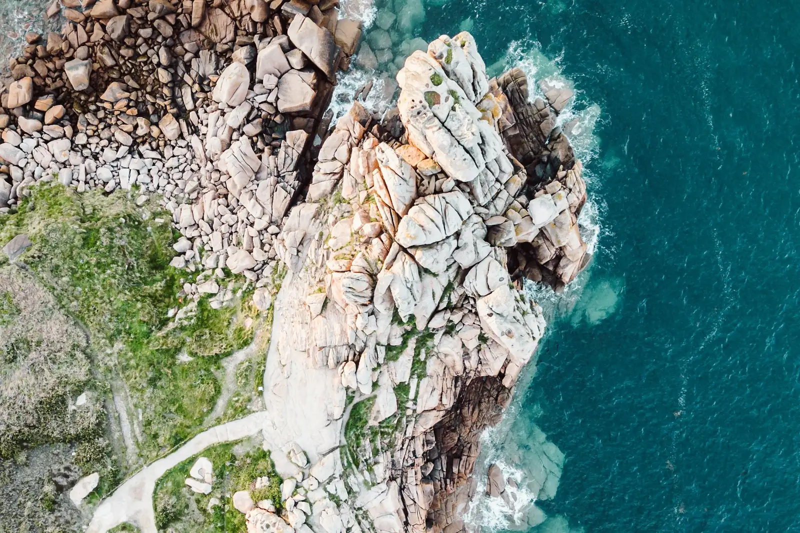
Drone photography and video
Drone photography shows what the ground can't: a home with its whole lot, a venue and its surroundings, a construction site from above, a stretch of coastline at sunrise.
Drone mapping and surveying
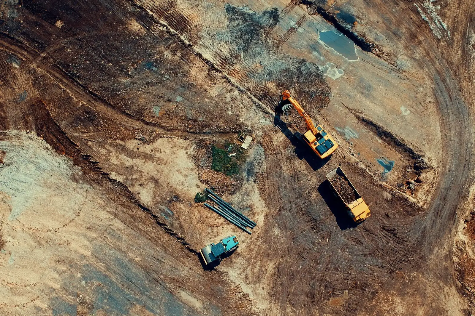
A drone survey turns hundreds of overlapping aerial photos into an accurate, measurable picture of a site: a map you can zoom into, a terrain model, a 3D model or a stockpile volume.
Drone inspection
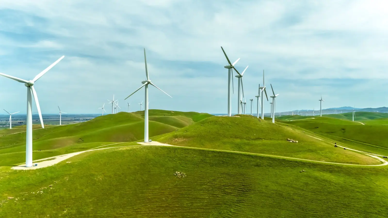
A drone inspection gets a close, detailed look at places that are hard, slow or risky to reach: a steep roof, a three-story facade, a row of solar panels, a cell tower or a wind turbine.
Tell us about your project
Free for you. We reply within 2 business days.