
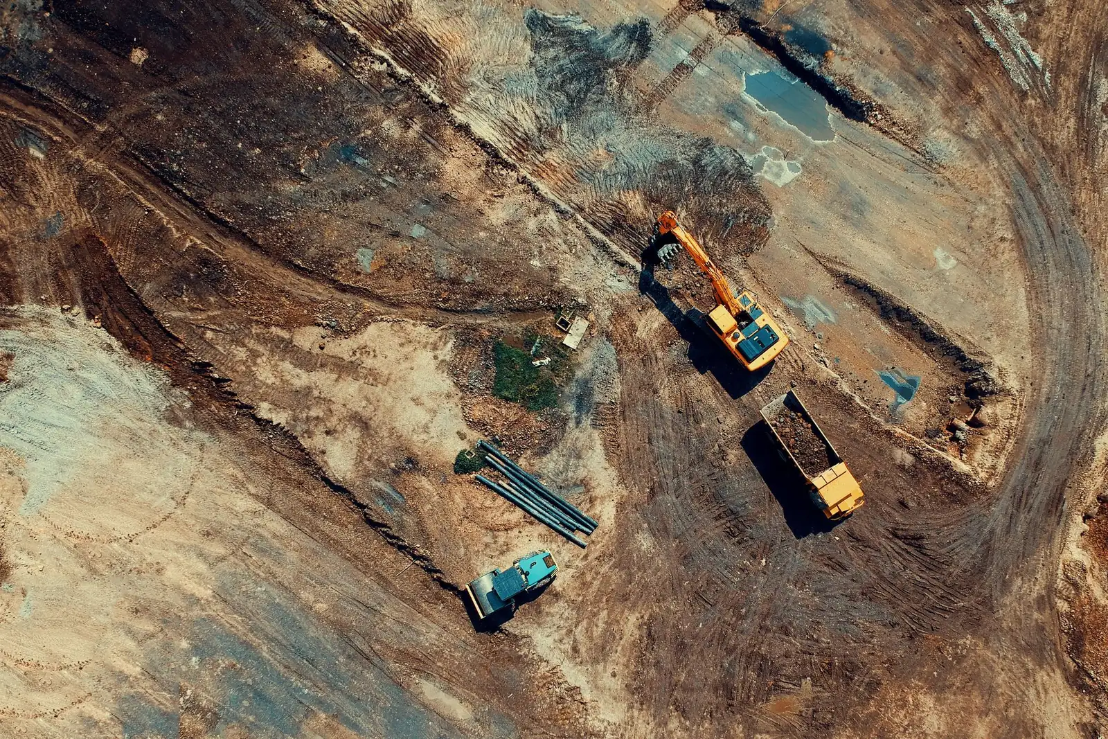
Drone Mapping and Surveying Services
A drone survey turns hundreds of overlapping aerial photos into an accurate, measurable picture of a site: a map you can zoom into, a terrain model, a 3D model or a stockpile volume.
- Typical rate
- $10 to $30 per acre
- Deliverables
- 5 typical deliverables
Drone mapping and surveying: the essentials
It is how builders, developers, landowners and engineers get an up-to-date view of a property without walking every foot of it.
Drone mapping services cover a wide range of jobs: a quick orthomosaic of a few acres, a topographic survey with ground control points before earthwork, monthly progress flights on a job site, or a large tract of land for a solar farm. What matters most in a quote is the accuracy you need, the files you will receive and the coordinate system they use.
Tell us about your site and what the data is for. We reach out to drone mapping pilots near you and come back within 2 business days with up to 3 quotes. It's free, and you are under no obligation to hire.
Use cases
Land and property mapping
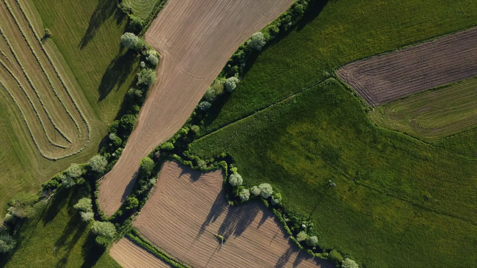
A current, high-resolution aerial map of a parcel, a ranch, a campus or a development tract, often sharper and more recent than satellite imagery. It is a solid base for site plans, listings and design work.
Topographic surveys before earthwork
A terrain model and contour lines to plan grading, drainage, a subdivision or a parking lot. Ground control points tie the model to real coordinates, and the quote states the accuracy you can expect.
Construction progress monitoring
Construction drone services fly the same site on a schedule, weekly or monthly, from the same angles. Owners, lenders and project managers see what changed, compare it with the plans and share it without a site visit.
Stockpile and earthwork volumes
Measure gravel, sand, mulch or dirt piles from the 3D model, or calculate cut and fill between two flights. Quarries, aggregate yards and earthwork contractors use it to track inventory and pay quantities.
3D models of buildings and structures
A measurable 3D model of a building, a roof, a bridge or a historic structure, for renovation planning, documentation or design. The drone reaches the angles that are hard to see from the ground.
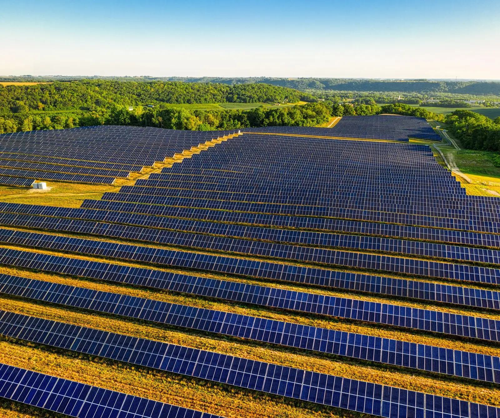
Solar farms, corridors and large acreage
Large flat sites, pipelines, roads and utility corridors map efficiently from the air. Fixed flight plans cover hundreds of acres, and the per-acre rate usually drops as the area grows.
Cost of drone mapping and surveying
These are rates we read on November 14, 2026 in published US cost guides from a drone software company and three pilot training organizations. They are not platform prices: each provider sets their own in their quote.
| Service | Typical range | Unit |
|---|---|---|
| Drone mapping, basic orthomosaic mapSkyeBrowse, drone survey cost guide (09/16/2026) | $10 to $30 | per acre |
| Drone survey, typical per-acre rateDrone Launch Academy, drone surveying guide (08/04/2026) | $30 to $150 | per acre |
| Topographic survey with ground control pointsSkyeBrowse, drone survey cost guide (09/16/2026) | $50 to $150 | per acre |
| Minimum charge for a small siteSkyeBrowse, drone survey cost guide (09/16/2026) | $500 to $1,500 | per project |
| One-time construction survey or mapping projectUAV Coach, drone services pricing guide (04/02/2026) | $1,000 to $3,000 | per project |
| Recurring construction progress monitoringUAV Coach, drone services pricing guide (04/02/2026) | $500 to $2,000 | per visit |
| Construction and surveying work, hourly rateDrone U, drone service pricing guide (05/30/2026) | $250 to $600 | per hour |
Small sites often cost more per acre because of minimum charges, and large sites less. Compare the accuracy and the files each quote includes, not just the total.
What affects the price
- The acreage, the terrain and how much tree cover hides the ground
- The accuracy you need, and the number of ground control points it takes
- Photogrammetry or LiDAR
- The deliverables: map, terrain model, point cloud, 3D model, volumes
- One flight or a recurring schedule on the same site
- Travel to the site and how fast you need the processed files
Sources
- SkyeBrowse, drone survey cost, accessed 11/14/2026
- Drone Launch Academy, drone surveying, accessed 11/14/2026
- UAV Coach, drone services pricing guide, accessed 11/14/2026
- Drone U, drone service pricing guide, accessed 11/14/2026
How it works, step by step

- 1
You describe the site and the goal
Location, approximate acreage, terrain and tree cover, what the data is for (site plan, volumes, progress tracking), the accuracy you need and the file formats your team uses. A site boundary or a sketch on a map helps a lot.
- 2
You receive up to 3 quotes
Each quote lists the area covered, the expected accuracy, whether ground control points are included, the deliverables, the processing time and a backup date for bad weather. Compare quotes on the same scope and accuracy.
- 3
Flight planning and ground control
The pilot plans an automated grid flight over the site. When accuracy matters, they set targets on the ground and measure their exact position with GPS equipment, so the map lines up with real coordinates.
- 4
The flight
The drone flies parallel lines with a high overlap between photos, at a set height. A mapping-grade drone with RTK positioning improves accuracy; LiDAR, a laser sensor, is used when trees or brush hide the ground.
- 5
Processing and delivery
Photogrammetry processing stitches the images into maps and models. You get the files by download link or in a web viewer, with an accuracy report: ask for it, it is what turns a nice picture into reliable measurements.
What you get
- A georeferenced orthomosaic map, in the image or GIS formats you need
- A digital surface or terrain model, contour lines and a point cloud
- A textured 3D model of the site or structure, if the quote includes it
- Stockpile volumes or cut and fill figures, if you asked for them
- An accuracy report: coordinate system, ground control used, equipment and flight date
Your project in a few clicks
Answer the first questions here: they carry over to your request.
Answer in one click, or skip to the next step.
ContinueFrequently asked questions
How much does drone mapping cost?
Published US guides put a basic orthomosaic map at $10 to $30 per acre and a topographic survey with ground control points at $50 to $150 per acre. Small sites usually carry a minimum of $500 to $1,500. For construction, a one-time survey or mapping project runs $1,000 to $3,000, and recurring progress flights $500 to $2,000 per visit.
What is drone surveying?
Drone surveying means flying a drone over a site in a planned pattern, taking overlapping photos or laser scans, and processing them into measurable maps and models. It captures a large area in a short flight and gives you elevations, distances, areas and volumes for the whole site, not just a few points.
How do I find drone mapping services near me?
Describe your site and enter your city or ZIP code. We reach out to drone mapping pilots who work in your area and send you up to 3 quotes within 2 business days. Ask each one for a sample map or model from a similar project.
How accurate is a drone survey?
It depends on the drone, the flight height, the overlap and above all on ground control. A map flown without ground control looks right but can be off; ground control points and an RTK drone tie it to real coordinates. Ask each quote to state the expected accuracy and to deliver an accuracy report.
Can drone land surveying replace a land surveyor?
For property lines, boundary surveys and recorded plats, you still need a professional land surveyor. Drone mapping is a fast way to collect topography, volumes and site conditions, and many drone mapping providers work with surveyors or are surveying firms themselves. Say what the data is for in your request.
What do construction drone services include?
Usually progress photos and video, an up-to-date orthomosaic map, stockpile volumes and cut and fill comparisons, flown once or on a schedule. Many teams share the results with owners and lenders through a web viewer. List the deliverables you want so each quote covers the same work.
What files will I get?
Common formats are a GeoTIFF orthomosaic, a terrain model, contour lines in CAD or GIS formats, a point cloud in LAS or LAZ, and a 3D model. Tell the provider which software your engineers or designers use so the files open without conversion.
Is it free to request drone survey quotes?
Yes. Describing your site and getting quotes is free, and you don't have to hire anyone. If you choose a provider, you pay them directly, based on the scope and price in their quote.
Related services
Drone photography and video
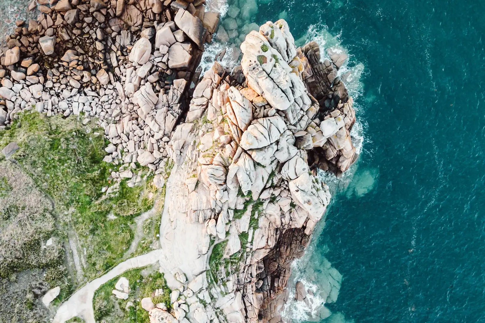
Drone photography shows what the ground can't: a home with its whole lot, a venue and its surroundings, a construction site from above, a stretch of coastline at sunrise.
Drone inspection
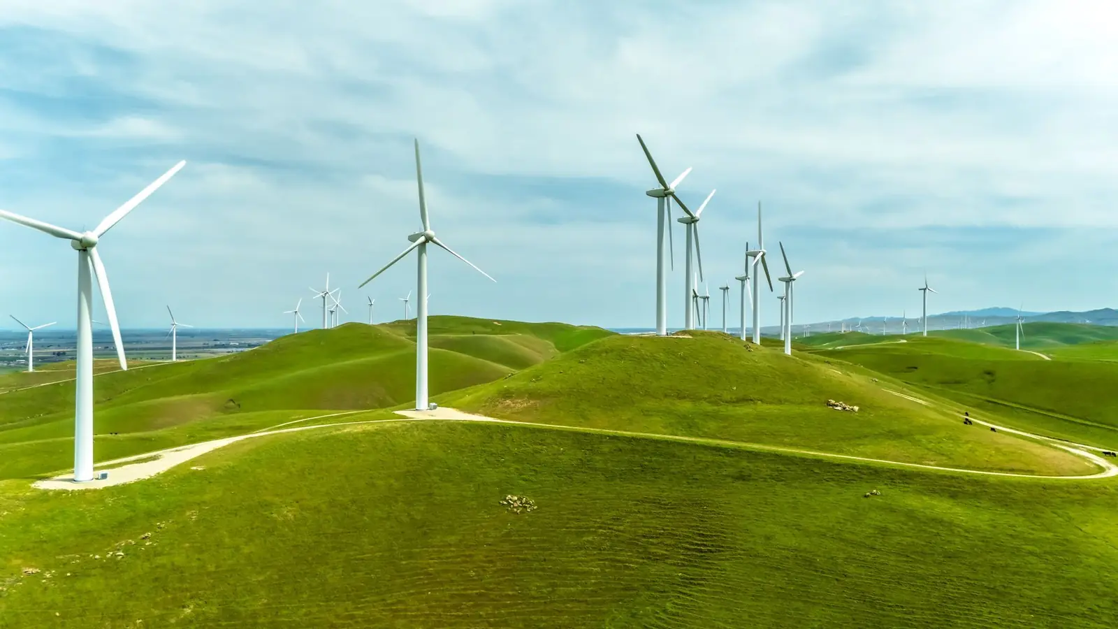
A drone inspection gets a close, detailed look at places that are hard, slow or risky to reach: a steep roof, a three-story facade, a row of solar panels, a cell tower or a wind turbine.
Thermal drone services and deer recovery
A thermal drone carries an infrared camera that sees heat instead of light.
Tell us about your project
Free for you. We reply within 2 business days.